Navigation auf uzh.ch
Navigation auf uzh.ch
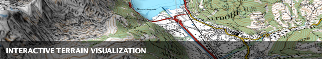
Interactive visualization of very large-scale digital elevation models is an important component in a variety of domains such as geographic information systems, command & control or training & simulation solutions, virtual environments and VR applications. To cope with the size and performance requirements of displaying extensive terrain data sets, in this project we investigate efficient multiresolution terrain modeling and interactive visualization techniques for adaptive and dynamic level-of-detail (LOD) generation as well as rendering large terrains from out-of-core.